
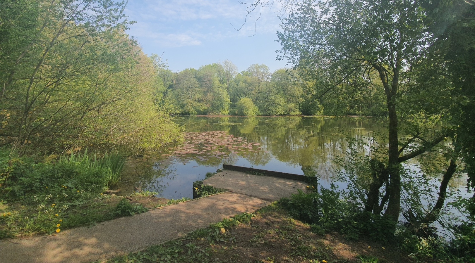
Cwm-oernant Reservoir
Flood Alleviation Scheme
Previous flooding Issues
Flooding was historically observed at the collection of houses around Springfield Road to the west, and along Reservoir Road to the south of the reservoir. At Springfield Road, surface water was found to collect within a small ditch, lined with a natural rock embankment. This ditch fed into a 225mm diameter clay pipe, the route and capacity of which could not be determined during investigations. When the capacity of this ditch was exceeded, surface water would flow along the road and into properties through gaps within boundary walls. Although surface water gullies are located along the road, these were seemingly not in appropriate adequate locations to capture surface-water run-off effectively.
The Flood Alleviation Scheme
The scheme can be divided into 5 components:
- A new kerb headwall and 300mm diameter pipe was installed where the small watercourse flowing from the area of houses around Springfield Road flows under the footpath leading to the reservoir.
- The 150mm diameter drain running underneath Reservoir Road was replaced with a 300mm diameter pipe and new 600mm wide gully and kerb headwall.
- A new Aco drain was installed across the footpath leading to Reservoir Road, as well as new 600mm wide gullies and associated cross-drain along Reservoir Road.
- The 750mm diameter culvert was extended, a new headwall and grid were installed, and an associated hardstanding area was constructed at the Y-junction between both Reservoir Roads.
- New 600mm wide gullies were installed further south along Reservoir Road.
The work was completed between 31st January and 04th March 2022.
Benefit
This scheme now provides a higher level of flood protection for 25 residential properties and 1 business and enhances the amenity of the recreational site.
Funding
The improvement works cost a total of £45,445.
£38,628.25 of funding was awarded to Carmarthenshire County Council from the Welsh Government.
£6,816.75 was contributed by Carmarthenshire County Council.
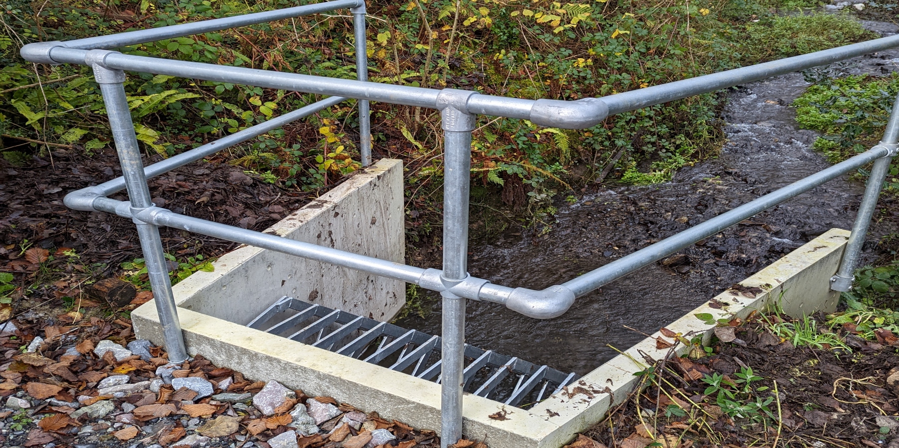